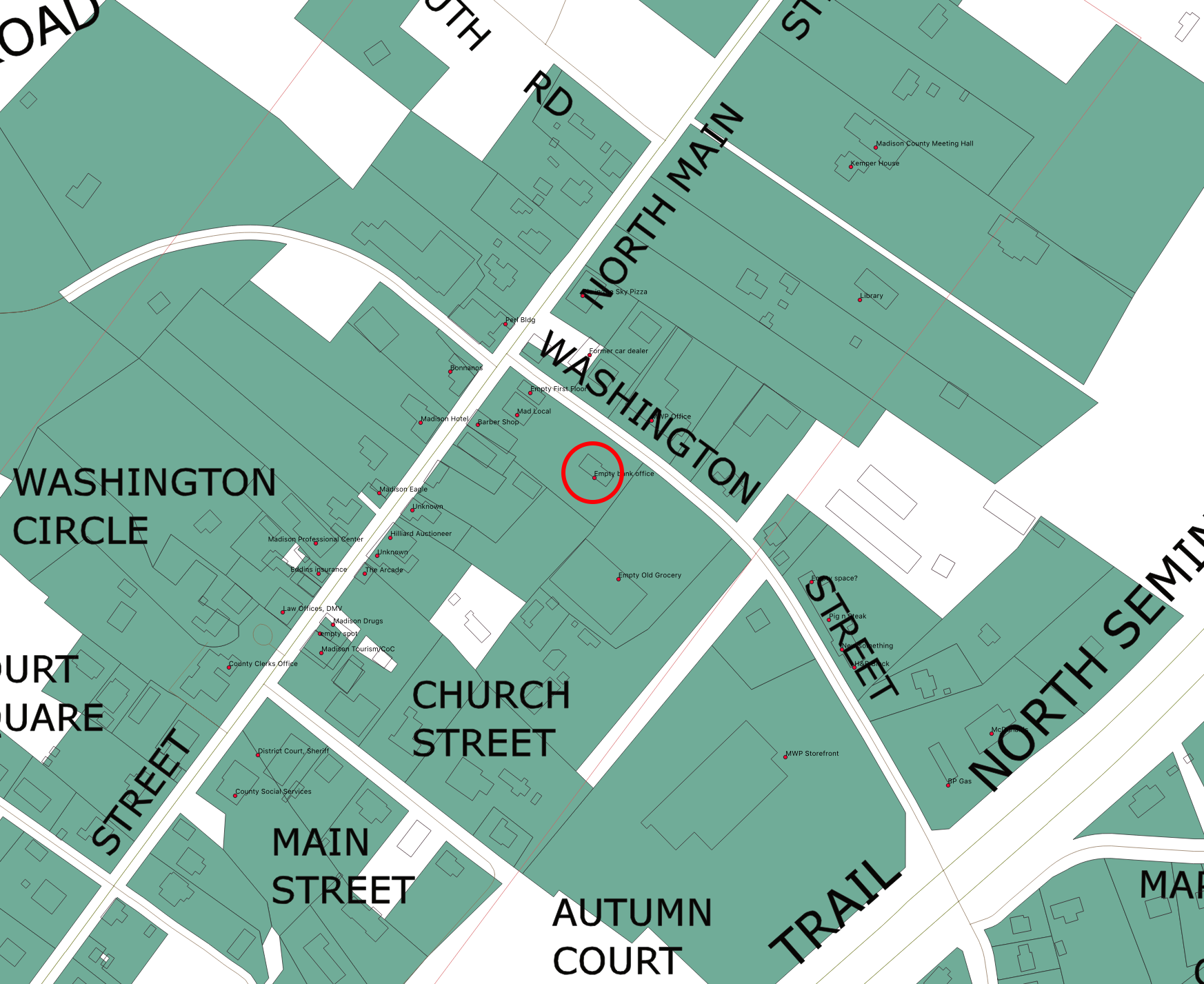
Coverage Area January 1, 2019
Our office is the red circle.
If you are located on this map area, we might be able to hit you right now.
If you are further down past the left corner, your opportunity is coming this fall.
The real estate parcel data came from the County. You can also find it HERE
Investment helps it move along faster
Please become an investor to help us get started. Sooner is better than later!
OK, I want to invest